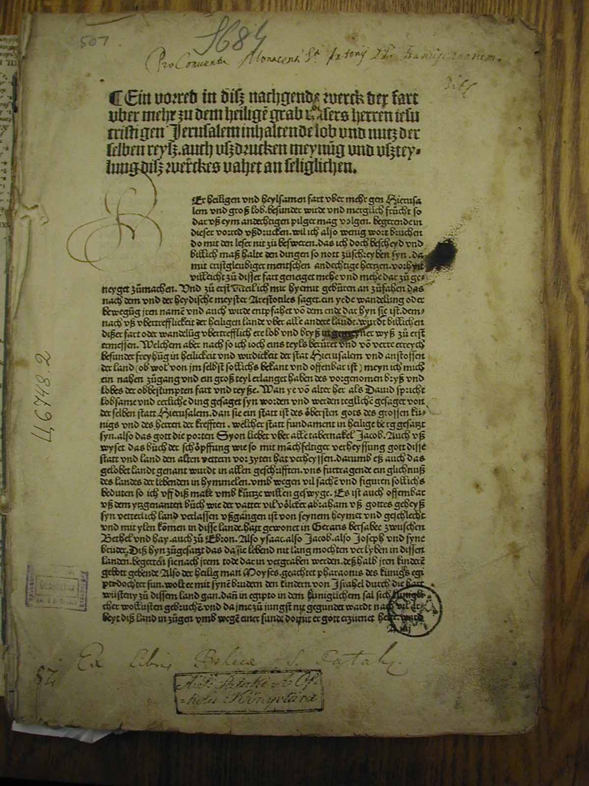
18. Title page of Breitenbach's Beschreibung...
Return to Table of Contents
18. Title page of Breitenbach's Beschreibung...
|
The left hand image is
the title page of Bernhard von Breitenbach's Beschreibung des gelobten Landes im Jahre 1483. [Mainz: E. Reuwich, 21.VI.1485]. Folio. Nizhni Novgorod 0108.
GW.5077. HC. 3959. IH. 808. The work is the first illustrated, printed travel book. This volume had considerable influence in later years; see Mat Immerzeel (with W. Deluga and M. Laptao), "Proskynetaria from Jerusalem." For more
details on Breitenbach,
click here
and also here and
here. Immerzeel writes: "Just as modern post-cards show us landscapes and buildings that are characteristic of the location where
the cards are purchased, icons destined for the 'souvenir market' often show subjects with recognizable prominent elements. Illustrated guides
which were also called proskynetaria were printed in Europe from the seventeenth century onwards on behalf of Greek Orthodox
and Russian Orthodox pilgrims. A guide in the Bibliotheque Nationale in Paris (BN G. 606) was printed in 1728 and contains an
engraved map of Jerusalem with comments at the bottom (Deluga 1997/98, Fig. 1). Its iconographical concept, however, is much
older. The design goes back to the famous map that was included in Bernard von Breitenbach's account of a journey that
he made to the Middle East as a companion of Felix
Fabri in 1483-1484 (some sources claim in the company of Count Johannes von Solms and the knight Philipp von Bicken), and which was probably designed
by Erhard Reuwig from Utrecht in the Netherlands (Röhricht 1901; Pl. 3)." Return to Table of Contents |